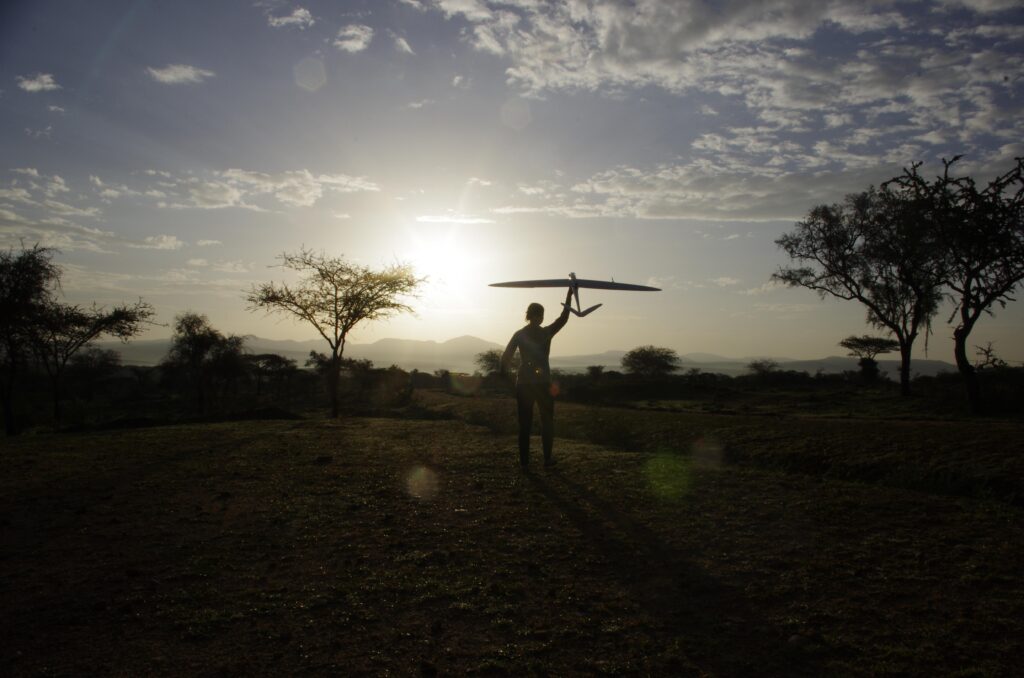
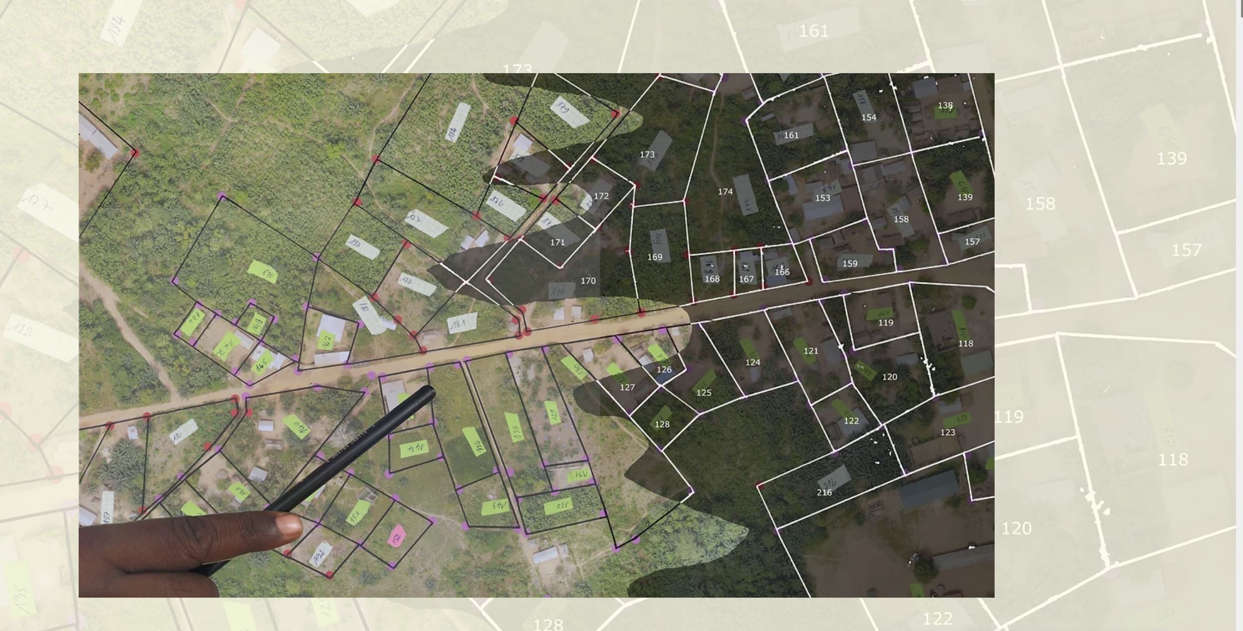
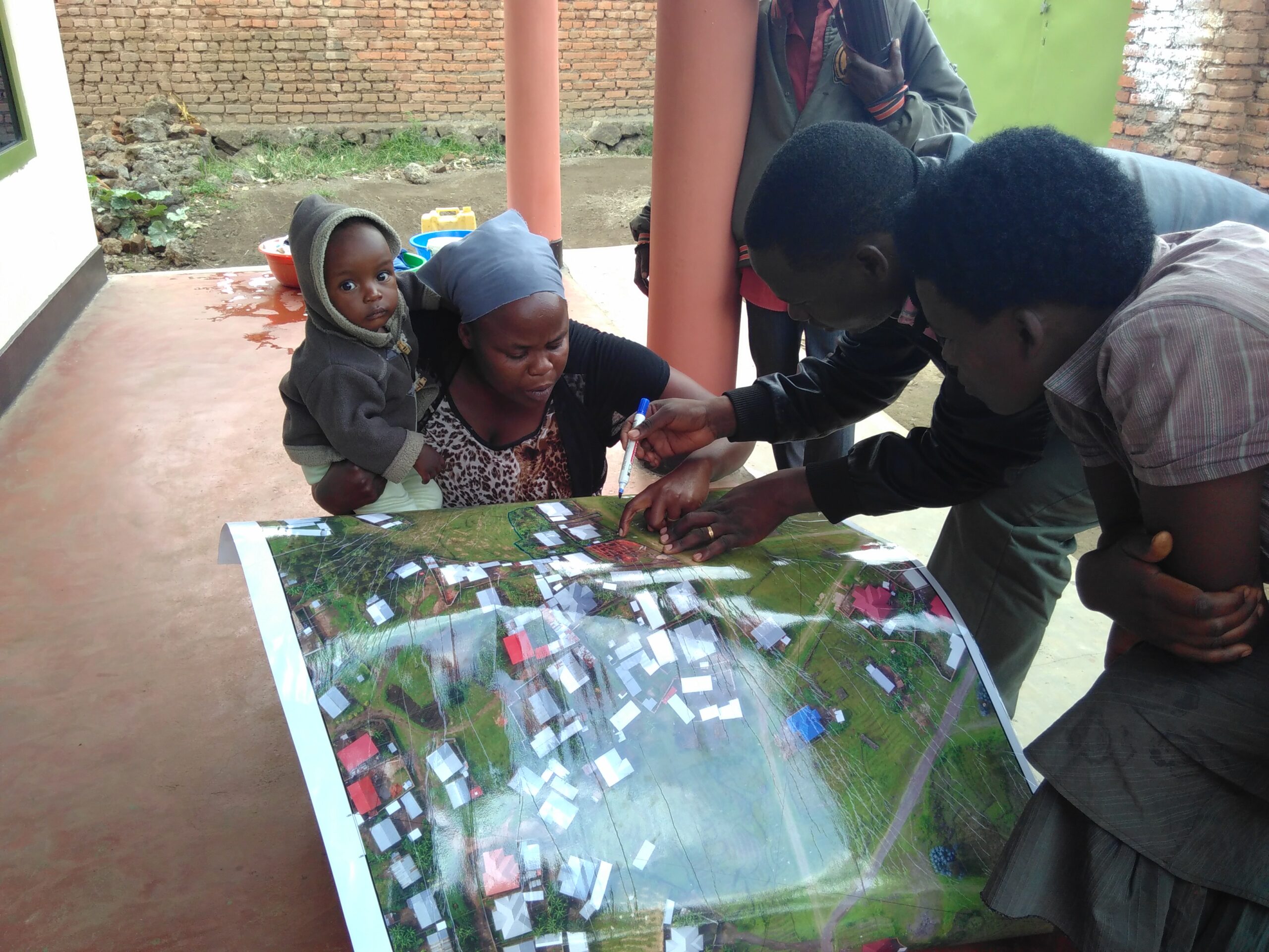
SmartLandMaps offers open-source software and services for the recording of previously undocumented land rights which are currently prevalent in countries of the Global South. In contrast to other approaches, our software and services allow land rights to be documented in all their plurality – both in a geographical and a legal-administrative context. We bring technological and social innovations to the market of land management and mapping. Our approach bridges the gap between hand-drawn maps or sketches – which cannot be edited with our competitors’ software – and modern land information systems. It also enables a participatory, efficient, and transparent documentation of existing land rights. With the help of the “Start-up transfer.NRW” funding program, we are currently extending our existing prototype with software modules for recording legal attribute data. We also want to lay the foundation for the sustainable use of the collected data by linking the documented land rights with innovative financing instruments (e.g. microcredit, crop insurance). Our software development phases in Germany are followed by test phases in African countries to validate our assumptions on the road toward reaching market maturity for our tools and services.